
Today, Palmer Engineering joins organizations around the world in celebrating GIS Day and recognizing the important role Geographic Information Systems (GIS) play in shaping our communities.
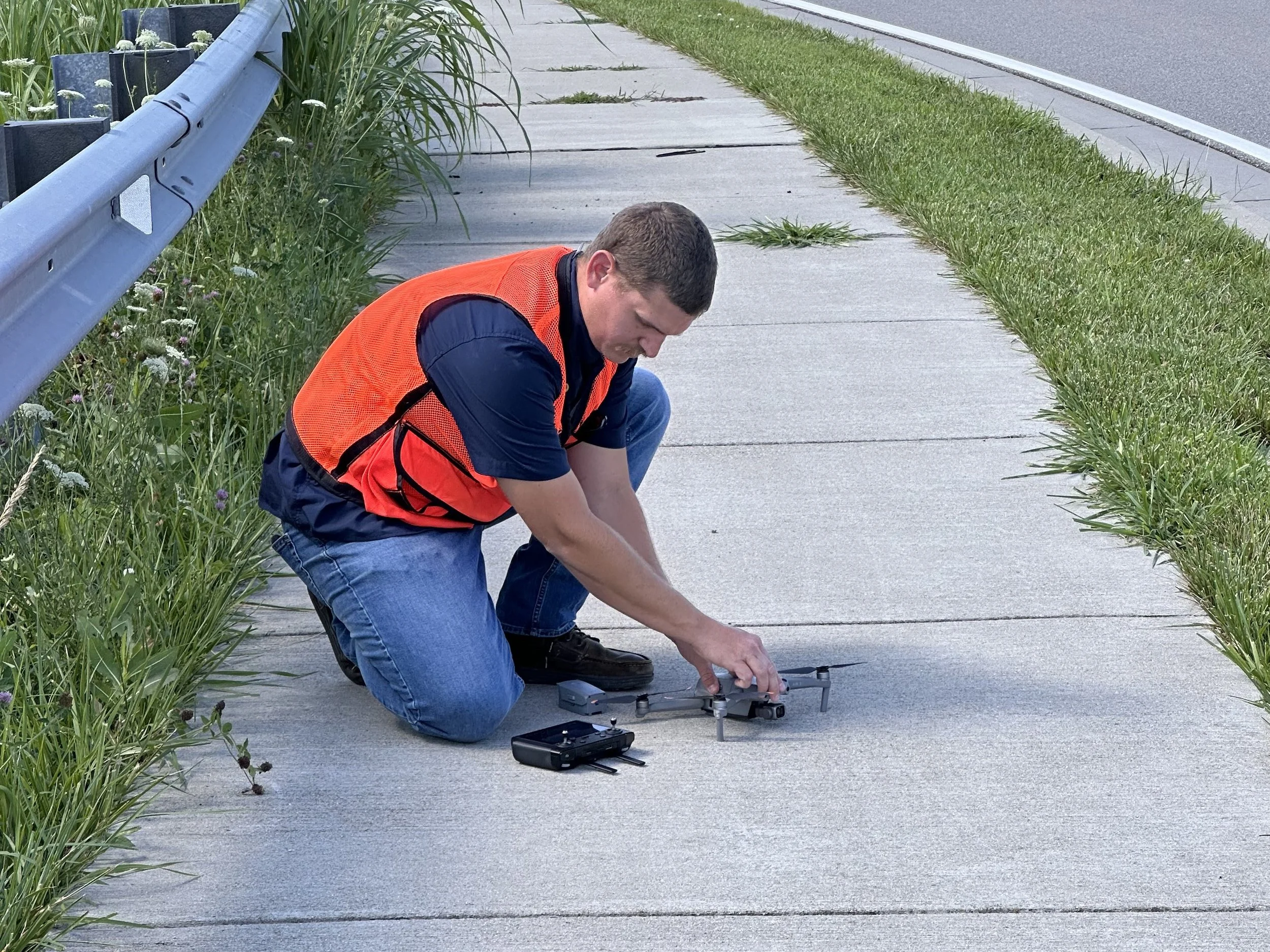
From collecting and analyzing data to using drone technology to capture detailed aerial imagery, our GIS professionals provide valuable insights that support smarter planning, safer transportation and more efficient project solutions.
We're proud of our GIS team and the expertise they bring to every project!
Want to learn more about the people and technology behind our GIS services? Read our previous feature, More Than Maps: GIS & Drone Technology, for a behind-the-scenes look at our GIS team in action.