
Exploring the World of Surveying
Helping Students Discover How Land is Measured and Mapped
At Palmer Engineering, we believe it’s never too early to introduce students to the many careers that help build our communities. Our Exploring Surveying resources are designed to help students, families, and educators learn how surveyors measure and map the land before roads, bridges, and buildings are designed.
Get started exploring the world of surveying with these fun, hands-on activities. Students can learn about the tools surveyors use, practice mapping and navigation skills, and discover how surveying helps engineers design safe and successful projects.
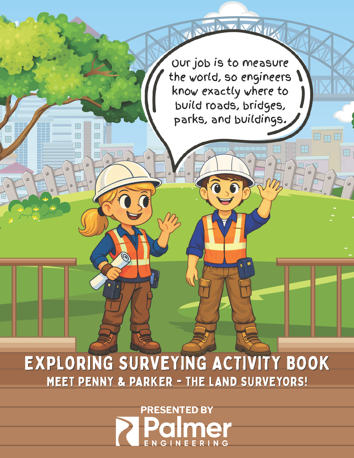
Surveying Activity Book
Follow Penny and Parker, two land surveyors, as they introduce the tools and skills used to measure and map the land. This interactive activity book, geared toward 2nd-5th grade students, includes challenges and activities that help students understand how surveying plays a key role in building roads, bridges, parks, and communities. (Book is recommended for students in grades 2nd-5th.)
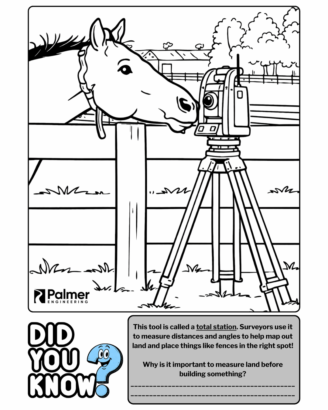
Surveying Activity Sheet
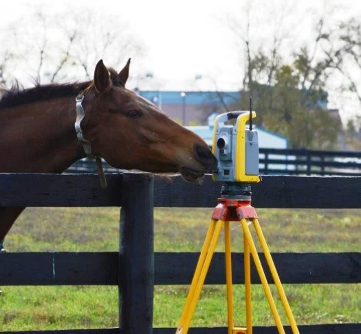
This curious horse inspired an activity sheet! Color this fun scene featuring a surveyor’s total station, a tool used to measure distances and angles when mapping the land. As you color, think about why it’s important to measure carefully before building things like fences, roads, and buildings.
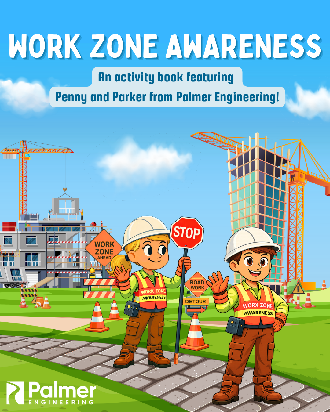
Work Zone Safety
Part of being a surveyor is staying safe, especially in and around work zones.
Learn more about work zone awareness in our activity book!
What you might see in a work zone
Matching and word search activities
Coloring sheet
National Surveyors Week 2026 Blogposts
Check out these blogposts and learn more about surveying and the team at Palmer Engineering.
The Role of Surveying in Transportation Projects
The People Behind the Measurements
Proposed Updates to Kentucky’s Surveying Standards of Practice
Stay Connected
Want to know when we add new surveying activities for kids? Sign up to receive a quick email when new resources are available.
We’ll only send occasional updates about new educational resources. No spam.